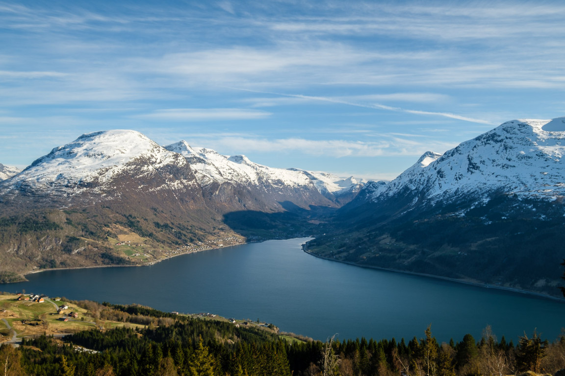
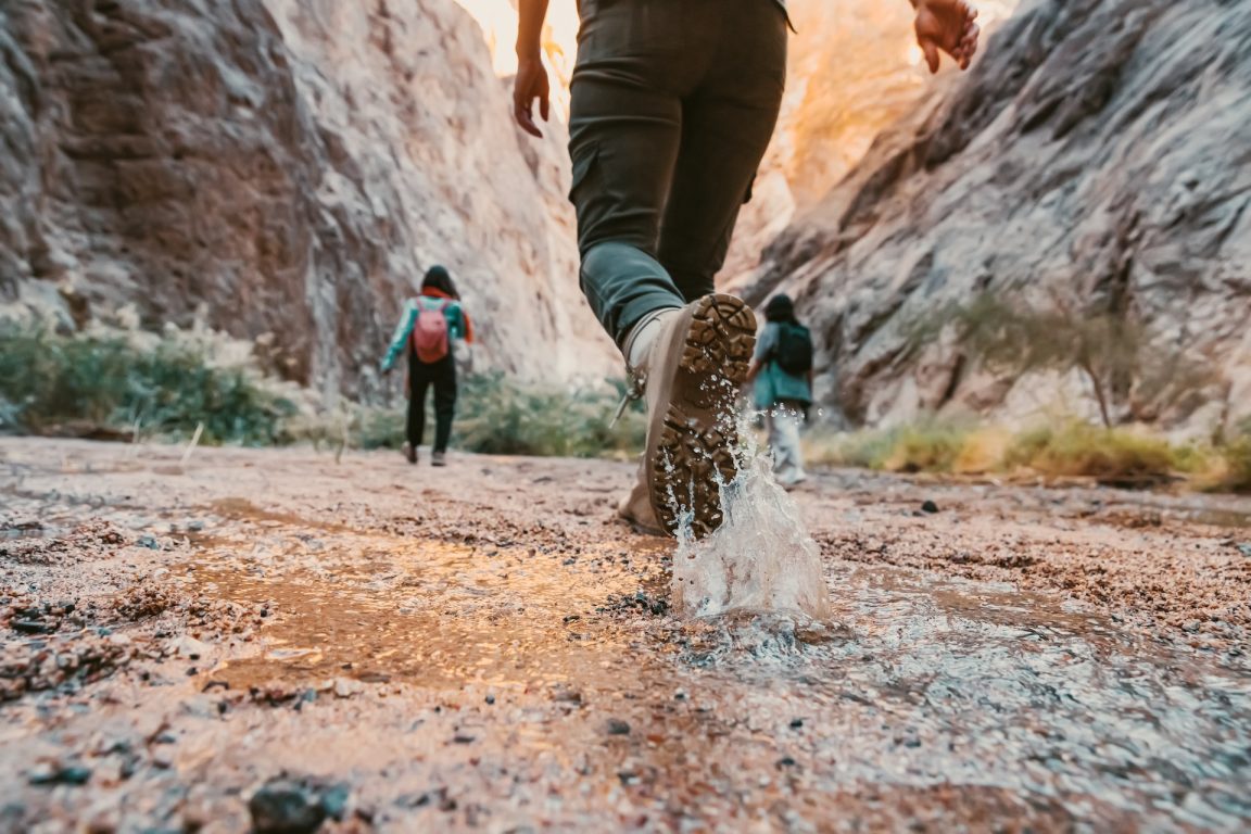
It was on the 25th of April that means freedom for us Portuguese’s, that we decided to spend a day in Arouca Geopark.
Before we leave for the adventure we needed to know more about the places we want to visit. After some research, we found an excellent website that helped us immensely in the planning of the trail.
Arouca Geopark
The Arouca Geopark website (www.aroucageopark.pt) helps us because it integrates an extensive network of pedestrian paths, well-marked, in total there are 13. In addition to these pedestrian paths in which we can find 41 geosites properly marked, there are also routes. The majority of them take us to the most remote places of the Serra da Freita.
This in its imposes a maximum height of 1085 meters, being this highest point the peak of São Pedro Velho located in the parish of Albergaria da Serra. The Caima river has its source here and its soil is essentially granitic.
The Serra da Freita together with the Serra da Arada and Serra do Arestal are part of the Gralheira massif.
The Arouca Geopark project has undoubtedly contributed to the protection and dynamism of the archaeological and geological heritage of the borough. At the same time, it has assisted in the promotion of ethnography, handicrafts and gastronomy of the region.
After analysing all possible routes, we decided to adjust one of them to our measure. One of the features of the available routes is that we can see all locations on the map.
Well, first of all, we chose a starting point and added to our own map the places we wanted to visit that were nearby. You can view our route on the map below:
On the day of departure to the adventure we wake up early, so we can enjoy the morning and the best of it. After almost a 1 hour drive we finally arrived at our starting point.
Levada de Santa Cruz
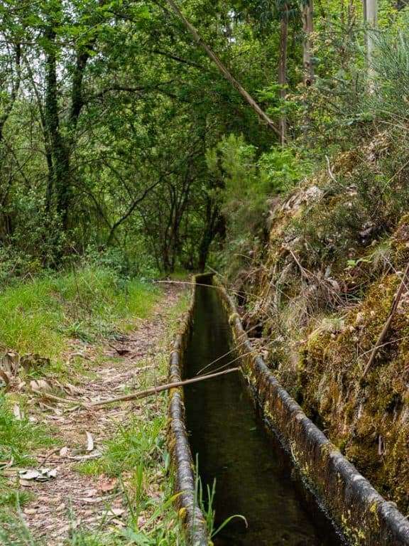
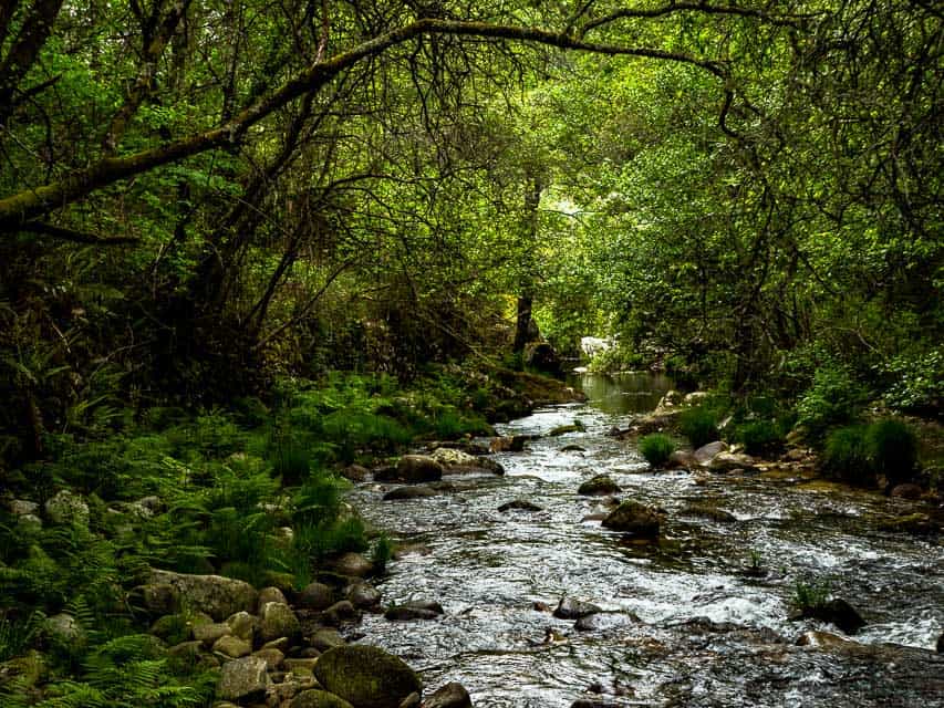
Levada de Santa Cruz is just over 1 km away and is located on the Caima river near the Eng. Duarte Pacheco dam. In the forests that surround the Levada, we can see several ferns that take advantage of the unexpected humidity to thrive. We can find the Iberian emerald lizard and the Iberian frog, among the flora we have the seal-of-Solomon, the St John’s wort, the holly and the wild blueberry. This time we could not see the otter near the riverside, but many fishermen tried their luck in fishing for barbel, Boga–Portuguesa or even trout.
After some time walking near the Levada and approaching the end of it, we come across another trail. We followed this little path and we were in Pisão Pit. The Pisão Pit is located in a valley embedded with high banks covered with vegetation. When we got to the place it was time to rest and enjoy all its beauty.
Lomba Village and Porqueiras Waterfall
Already a few kilometres of car it was time to reach the village with the same name of our locality, the Lomba village. Our goal was the Porqueiras waterfall, but this one is in one of the most remote places of the Serra da Freita. Crossing the Lomba village on foot we come across a small trail between the fields of the local farmers. This is all properly marked with plates by Arouca Geopark.
Porqueiras waterfall is about 15 meters and lies in a valley nestled in the stream of Agualva, earned its name due to the homonymous village that until recently was inhabited. One local person told us that she had once lived in the Porqueiras village, but a violent fire started a few years ago was the reason why its population had to be relocated, mostly to the Lomba village.
The access road to the Porqueiras waterfall is not very difficult, although in some areas we have to be more careful. This time we did not see the Eurasian eagle-owl that inhabits here neither the Iberian wolf or the blackbird. However, on the way, we contemplate the fetus-cowboy and the holly.
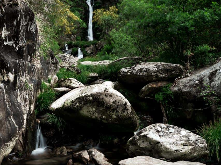

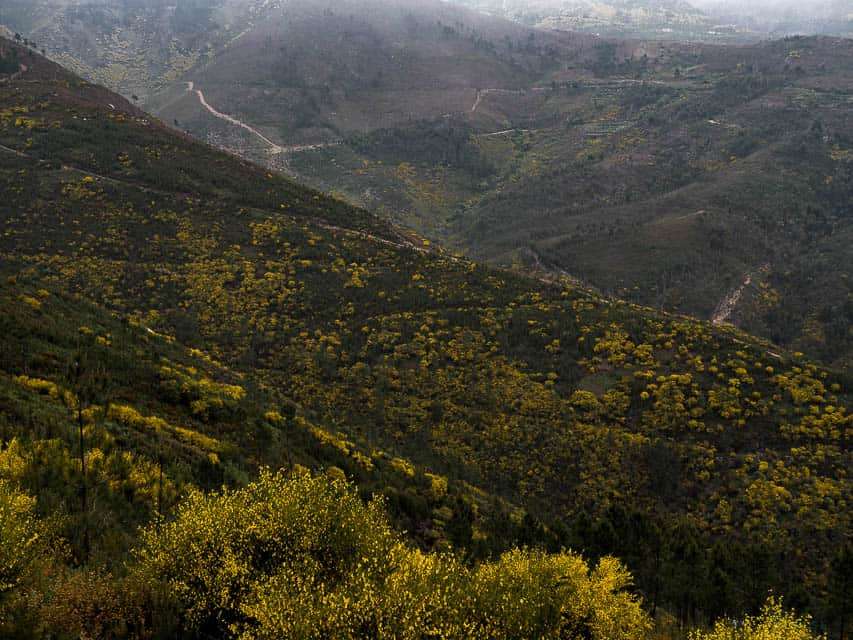
The hours passed so fast that when we came back from Porqueiras waterfall it was lunchtime. Our next place of a visit would be Pedras Parideiras, so we decided to have lunch nearby. Until we get there it was an adventure, we crossed by car the Lomba village and a few meters ahead entered a dirt road. To improve we still cross some goats in the middle of the road and a shepherd dog chasing our car.
After so many adventures we took advantage of the amazing view on the slopes for filming.

Pedras Parideiras
The Pedras Parideiras is extremely touristy since their outcropping is a unique granitization phenomenon in the world. There you’ll find a museum where it is explained all this process of the Pedras Parideiras. It is undoubtedly something unique to witness, the small nodules are released from a block of granite by erosion and the excesses of heat and cold that shape the surrounding. The stones that ‘born’ are brighter, an intense black colour, standing out from the vulgar grey granite of the parent stones.
We commend all the work that has been done to conserve, understand and value this geosite of international relevance. It is important that tourists are

Pedras Boroas
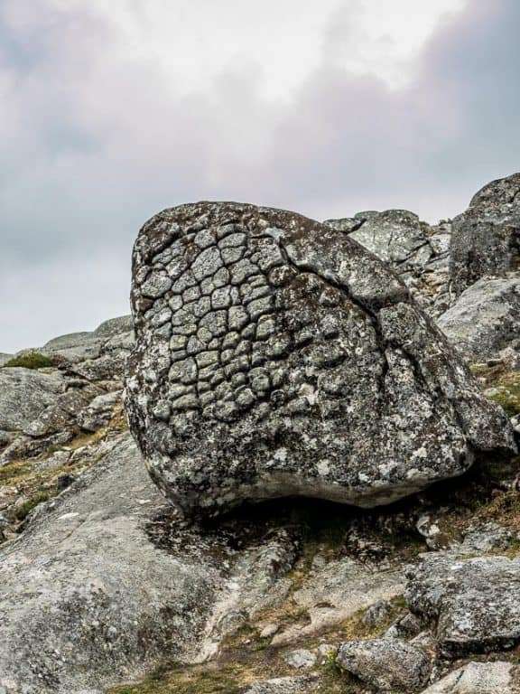
Just a few minutes away from Pedras Parideiras there is another much-visited place that is the Pedras Boroas do Junqueiro. These owe their unusual name to the similarity they have with cornbread. Its origin will be associated with a complex set of processes related to imbalances in the outer platelets of the rock.
On the surrounding plateau, we can find cows and goats grazing freely, always on the watchful eye of the shepherd. This plateau is full of diversity, mainly in the spring season where we can see species like the dragonfly and the blackbird. Its greatest wealth is the peat bogs that accompany the mountain water lines, a habitat of countless species of flora such as daffodil of peat bogs, daisy, cervum and gentian.
Frecha da Mizarela
At the end of the day of adventure, we would finally arrive at the ex-libris of the Serra da Freita, Frecha da Mizarela. This is considered the largest in Portugal with more than 60 meters in height.
Even before descending to the base of the waterfall we can appreciate its splendour of a small belvedere that offers us panoramic views.
The route to the base of Frecha da Mizarela is well marked, however, the way is a little steep, with some loose stones, so in some points dangerous for those who are not used to this type of situations.
In any case, it is very worthwhile, because the show allowed at the base of Frecha da Mizarela is unique, its opulence and grandeur is surprising. We would end up staying longer than expected and when we returned to the belvedere to finally stop our day of adventure it was already late.


Our day at the Arouca Geopark was so sensational that on our way home we were thinking to go back again to do another trail.
For all nature lovers, who like the contact with the mountain, its animals, its flora and even with its inhabitants, these routes offered by Arouca Geopark are undoubtedly a point of reference.
For more photos visit our portfolio of Arouca Geopark, if you need more information about places to visit, use our destinations page.


